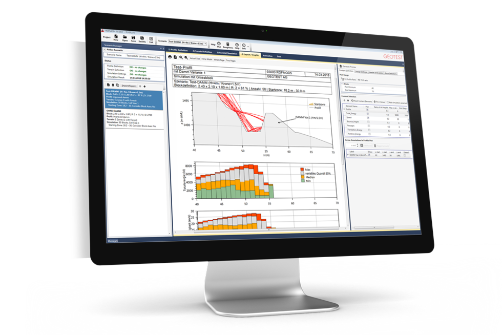
Modelling of rockfall processes
ROFMOD
In order to plan effective protection measures, rockfall processes must first be calculated as precisely as possible. In a continuous learning process, we have been developing rockfall models since the early 1990s. The result is our software ROFMOD.
The rockfall modelling software ROFMOD was developed by GEOTEST about 30 years ago as the first of its kind. Our decades of experience with rockfall processes make the current version of ROFMOD a precise tool for planning protection measures against rockfall processes.
Application and strengths
ROFMOD is used to model rockfall processes over large areas in 3D overview representations (>100 km²) and detailed in 2D terrain profiles. The modelling approach is characterised by easily definable, intuitive model parameters (surface roughness, damping effect of the subsoil) and a very realistic modelling of the effects of forests.
The software performs calculations according to a deterministic modelling approach. This means that the decisive model parameters (block axes, subsoil, terrain surface, fracture zone, etc.) are defined by the user and are not varied. This guarantees easy control and interpretation of the results.
2D modelling: ROFMOD is available for you too!
We not only use ROFMOD as a calculation model for our own projects, but also make the software available to third parties. The original version (GEOTEST-Zinggeler) is now equipped with a modern user interface and provides very efficient and high quality rockfall modelling.
The better the models, the easier the planning
For the current version 5, the functionality has been expanded considerably and the user interface has been completely revised.
Other GEOTEST products
Digital property management: keep an eye on the condition of your property.
Rockfall modelling based on 2D profiles – as a basis for sound action planning.

