competencies
GIS
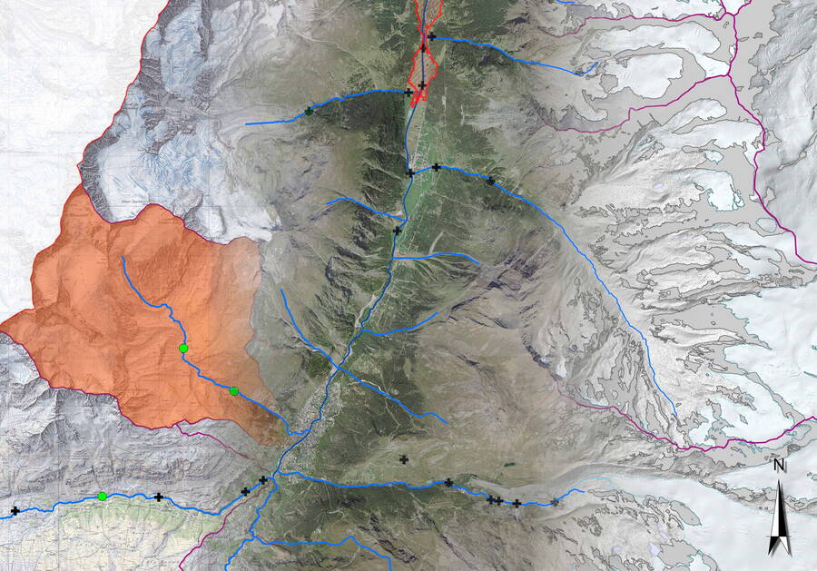
With the help of geographic information systems (also called geospatial information systems or spatial information systems), we collect, organise, analyse and present spatial data.

Our services include:
Evaluation, visualisation and modelling of digital spatial data
Geodata analysis
Spatial data analysis
Spatial databases
