Preliminary study for the “Cargo sous terrain” project
Switzerland
47° 33′ 06″ N, 7° 35′ 27″ E
2010 - today
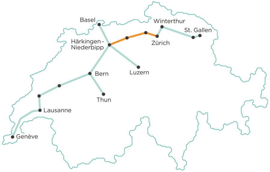
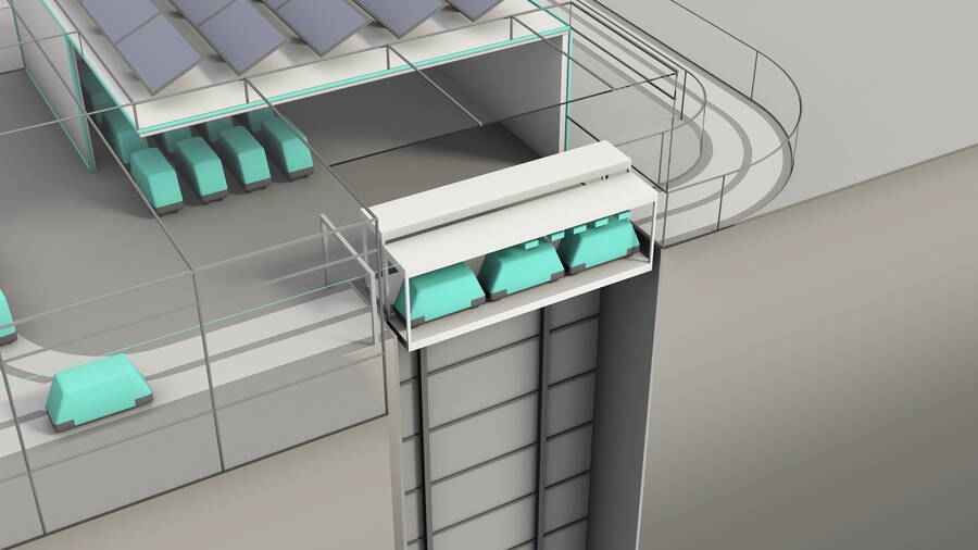
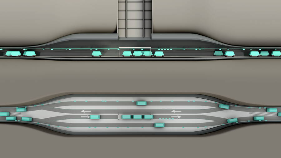
Cargo sous terrain is a comprehensive logistics system for the flexible transport of small goods. The aim is to establish underground links between production and logistics sites and urban centres. The first section of the Cargo sous terrain network is around 70 kilometres long and runs from Härkingen-Niederbipp to Zurich. By 2045, a 500-kilometer network is to be created between Lake Constance and Lake Geneva, with offshoots to Basel, Lucerne and Thun. CST will therefore make a crucial contribution to reducing traffic and noise emissions. The electricity for the operation of the system comes entirely from renewable energy sources.
In 2013, the association Cargo sous terrain commissioned an initial feasibility study, with the aim of investigating the economic, technical and legal feasibility of this project.
A total of seven route variants were investigated, for which GEOTEST determined the construction ground conditions – with the help of a geological 3D model and other tools. In this way, profile sections over a length of 60 km were defined.
GEOTEST was involved in the construction subproject, which focused on the analysis of different route variants and technical solutions. A total of seven route variants were investigated, for which GEOTEST determined the construction ground conditions – with the help of a geological 3D model and other tools. In this way, profile sections over a length of 60 km were defined.
Since 2020, GEOTEST has been involved in the preliminary study in the subproject “Building Permit & Construction”. Specifically, GEOTEST has been preparing the necessary studies on the environment and protected goods, specifying the underground boundary conditions for the tunnel route of section 1, collaborating in the elaboration of the Environmental Impact Assessment (EIA), and conducting the pre-evaluation of disposal sites.


