Hazard management “Spitzer Stein”
Kandersteg, Berner Oberland
46° 28′ 39″ N, 7° 43′ 24″ O
2018 – today
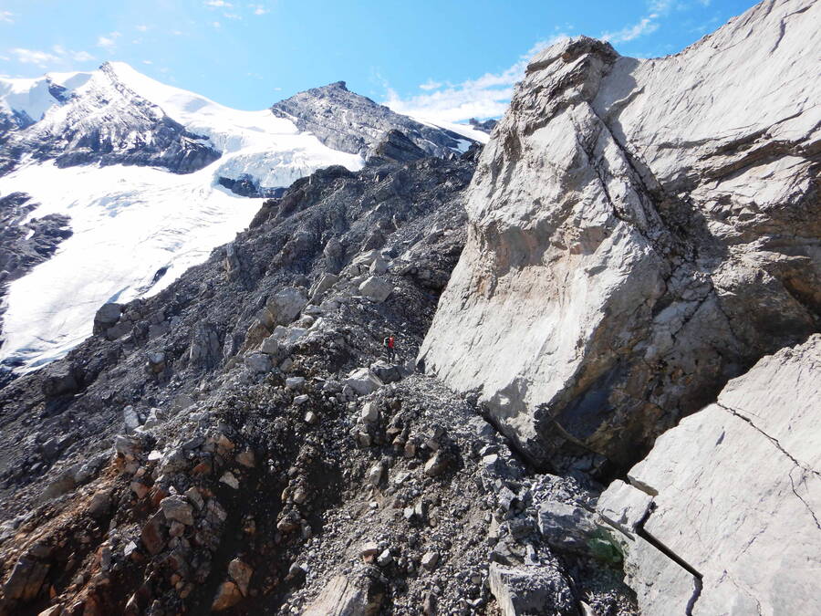
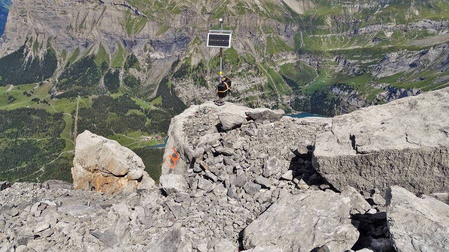
In the summer of 2018, rock movements amounting to around 20 million m3 were observed at “Spitze Stein” above Lake Oeschinen near Kandersteg. Since then the area has been monitored to protect the local population. As a basis for the hazard management, GEOTEST has developed a geological process model and modelled process zones and expected intensities for different rockfall scenarios. For the ongoing assessment, monitoring instruments were installed and their data are continuously evaluated and assessed in relation to the models.
The monitoring indicates considerable movement of a large to very large rock mass: in the summer months velocities exceed 10 cm per day. The thawing permafrost plays a major role in this process.
GEOTEST has prepared a safety concept for the entire area of the municipality of Kandersteg.
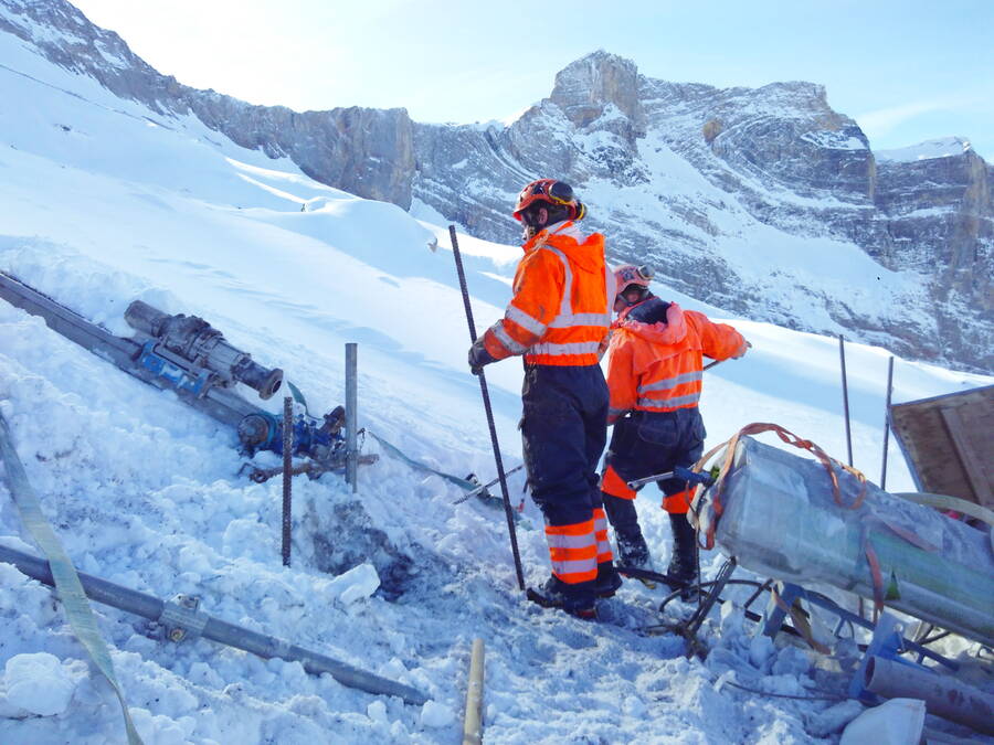
In order to learn more about temperature distribution, ice content, water pressure, layer structure, and their interacting influences and development, GEOTEST is investigating the area in question by means of exploratory drilling (and georadar measurements). To achieve optimal hazard management, an automated data analysis system including prognosis calculations was set up.
For the protection of persons and property which are within the expected impact area of the dangerous natural processes, GEOTEST has prepared a safety concept for the entire area of the municipality of Kandersteg. This concept takes into account both the possible rockfall processes and the subsequent debris flows.


